Chargement…
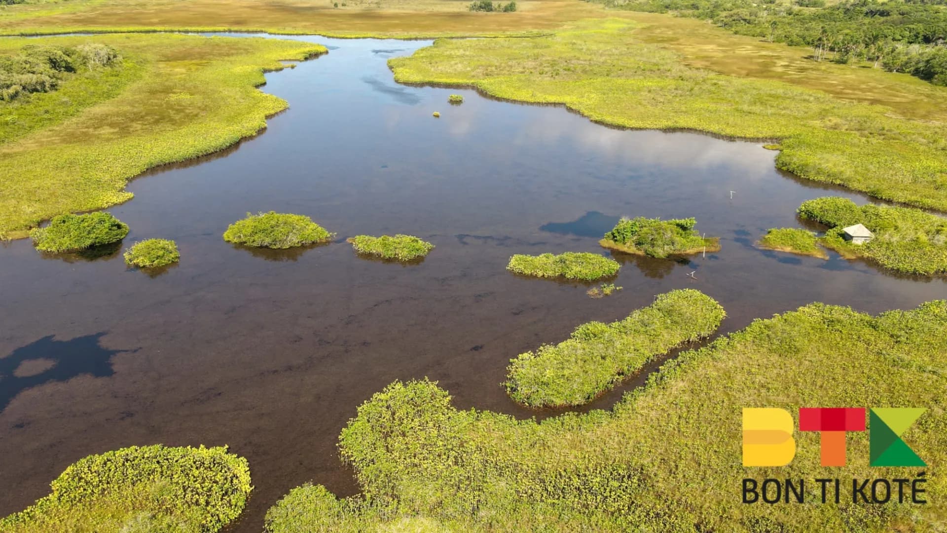
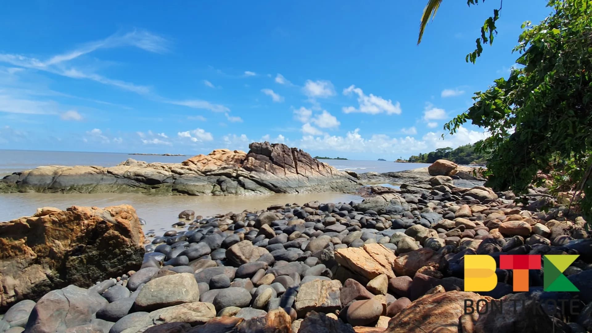
The Montagne Topu trail in Rémire-Montjoly is a hiking route managed by the Collectivité Territoriale de Guyane (CTG). Located near Mont Mahury, between the Rorota lakes, Crique Angélique, and the Loyola trail, it winds through tropical rainforest. The trail covers 3.3 km out and back, takes approximately 1h20 to complete with 112 metres of elevation gain, and is not a loop. It is waymarked and features viewpoints such as the Rorota Viewpoint overlooking the surrounding lakes, which can sometimes be obscured by dense vegetation.
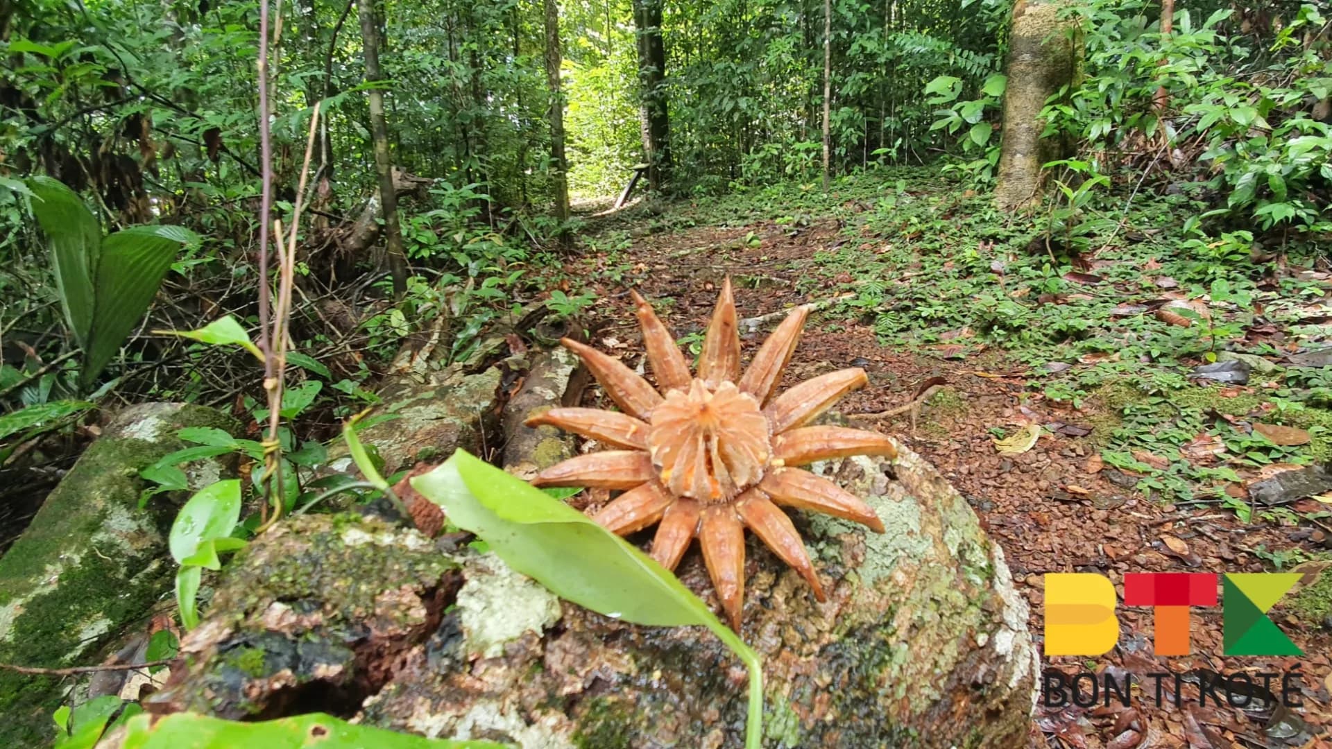
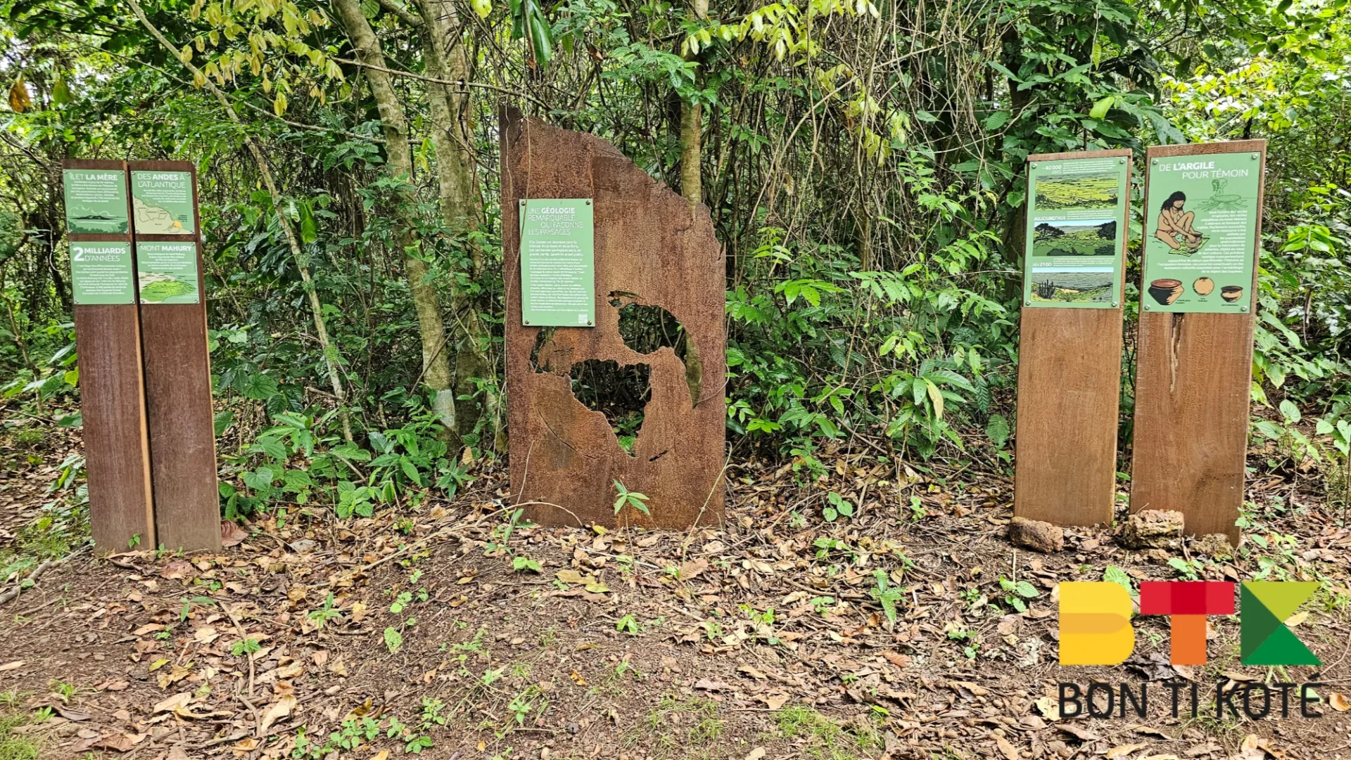
The trail is a wonderful way to discover local biodiversity and the history of the region's earliest inhabitants. The forest is home to trees such as Wacapou, Angélique, and Bois-canon, which can reach up to 50 metres tall, as well as plants used by Amerindian communities (manioc, papaya, mombin). You may spot squirrel monkeys, bats, tanagers, or agoutis, though the dense vegetation can make wildlife-watching a challenge. Interpretive panels explain the chablis phenomenon — the natural process by which a falling tree opens a gap that allows the forest to regenerate.
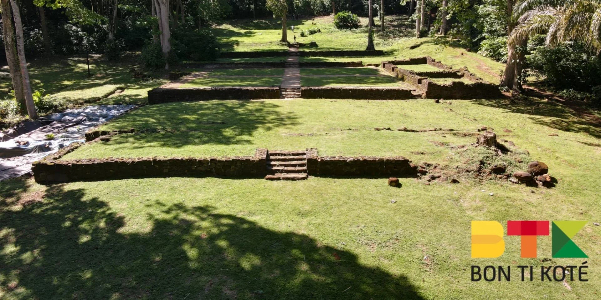
The trail is marked with information panels about human occupation of the area, which dates back more than 10,000 years. Evidence includes Amerindian pottery shards dating to 9,000 years ago, found in the Sinnamary-Iracoubo region. Stone tools such as polished axes and scrapers show how the ancient inhabitants made use of the crystalline rocks of Mont Mahury. Until the 17th century, the coast of French Guiana was settled by Europeans, but Amerindian peoples continued to exploit the natural resources of Mont Mahury and the island of Cayenne.
Length: 3.3 km out and back. Duration: 1h20. Elevation gain: 112 metres. Level: moderate (rated C). Preparation: bring water and wear appropriate footwear, as the tropical climate is humid and the terrain can be slippery. Rules: do not pick plants and tread carefully to protect the ecosystem, as indicated on the signage. Contact: Nature Brigade of the CTG at +594 594 69 46 90 or +594 594 38 25 52.
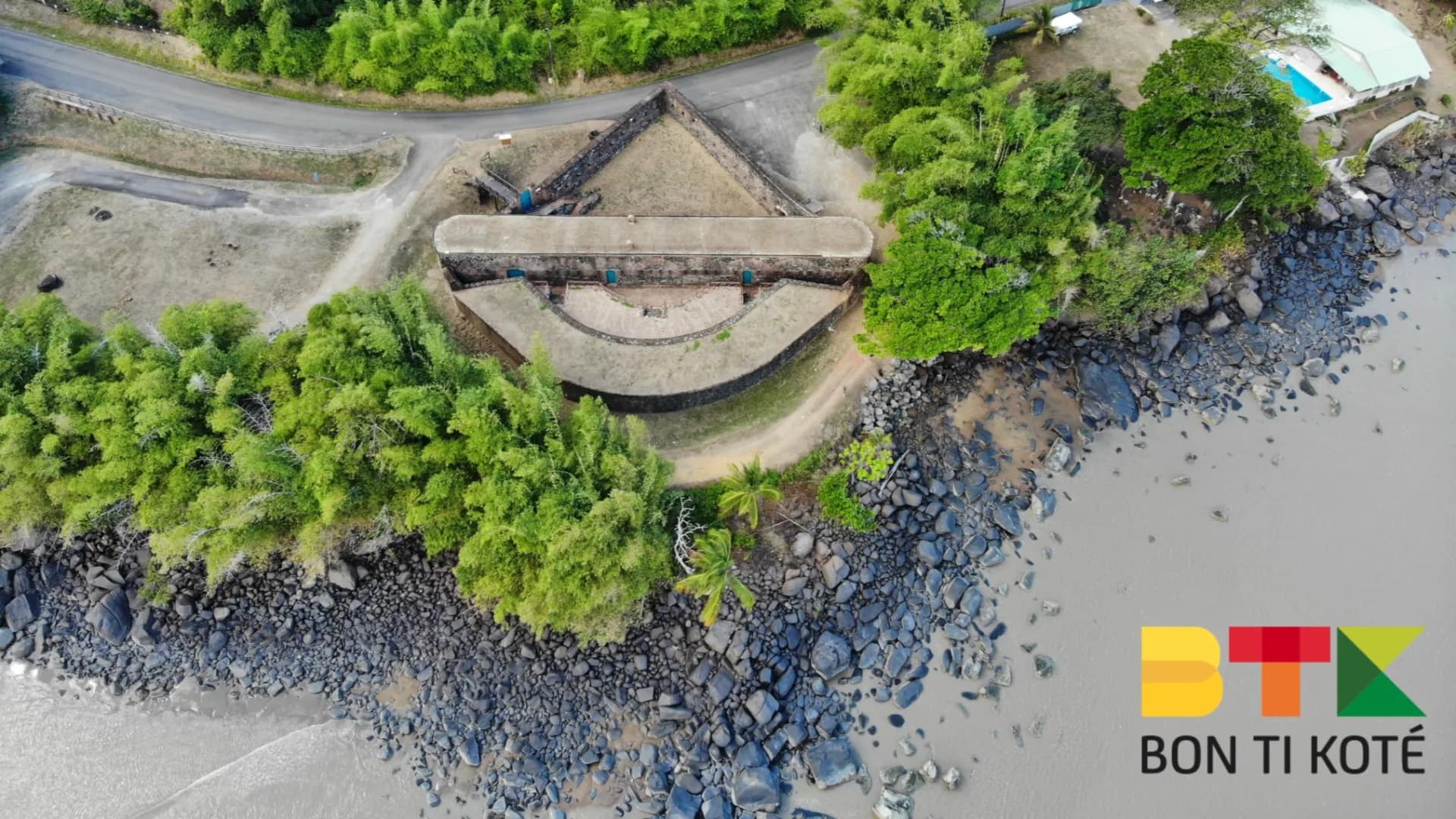
There are two possible starting points. From Rorota: pass the entrance to the Rorota trail and continue to an intersection where a wide path branches to the right, marked by an information panel. From the Loyola trail: an alternative access point is available from this historic trail, known for its Jesuit ruins and proximity to Mont Mahury.
The difficulty level is moderate (rated C), with 3.3 km out and back, 112 metres of elevation gain, and approximately 1h20 of walking. The terrain can be slippery in the humid tropical climate.
There are two starting points: from the Rorota trail (pass the entrance and continue to a wide path on the right marked by a sign) or from the Loyola trail, known for its Jesuit ruins.
You may spot squirrel monkeys, bats, tanagers, or agoutis, and observe trees such as Wacapou, Angélique, and Bois-canon, as well as plants used by Amerindian communities such as manioc, papaya, and mombin. Dense vegetation may make spotting wildlife tricky.
The Nature Brigade of the Collectivité Territoriale de Guyane (CTG) can be reached at +594 594 69 46 90 or +594 594 38 25 52.


« Endroit magique, on a vu deux toucans en arrivant ! Sentier bien balisé, parfait pour la matinée. »
« Super site, l'eau est cristalline. Petit bémol : prévoir des chaussures qui tiennent bien, ça glisse. »
« Tip BTK validé : on y est allés à 8h, on était seuls. Vers midi c'est beaucoup plus fréquenté. »
« On a passé l'après-midi ici en famille, les enfants ont adoré la baignade. Vraiment un coup de cœur. »
À proximité
Sélection de restaurants proposée par dronmi.fr