Bon Ti Koté
Découvrez le Sentier des Américains
Nature & sentiers★ Free accessMatoury

Découvrez le Sentier des Américains

Free access
Distance4,5 kmDifficultéFacile

Gallery

Overview

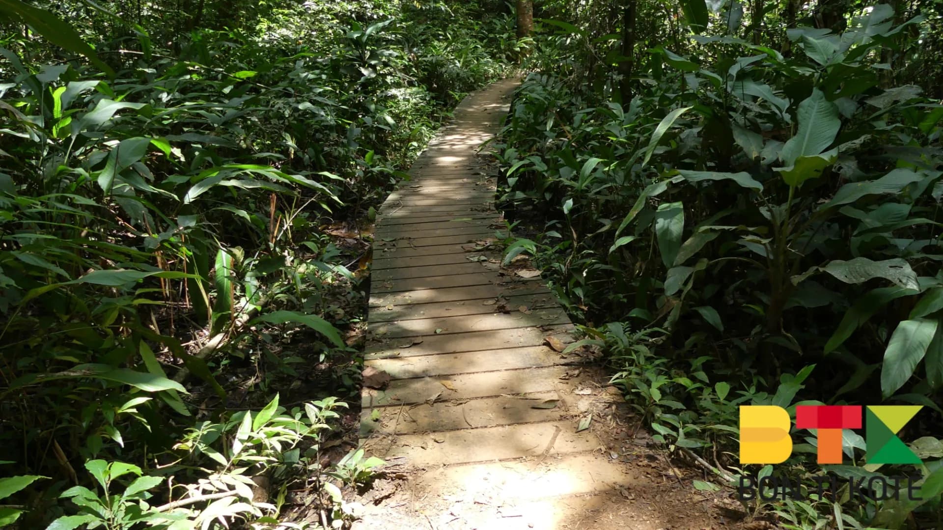
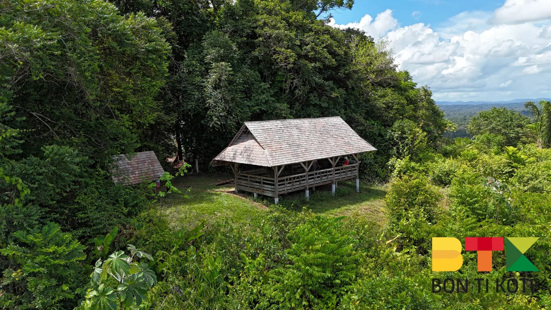
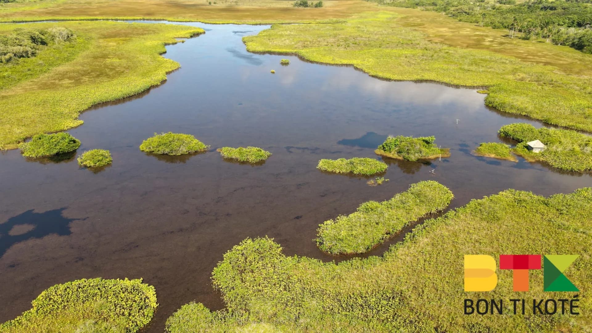
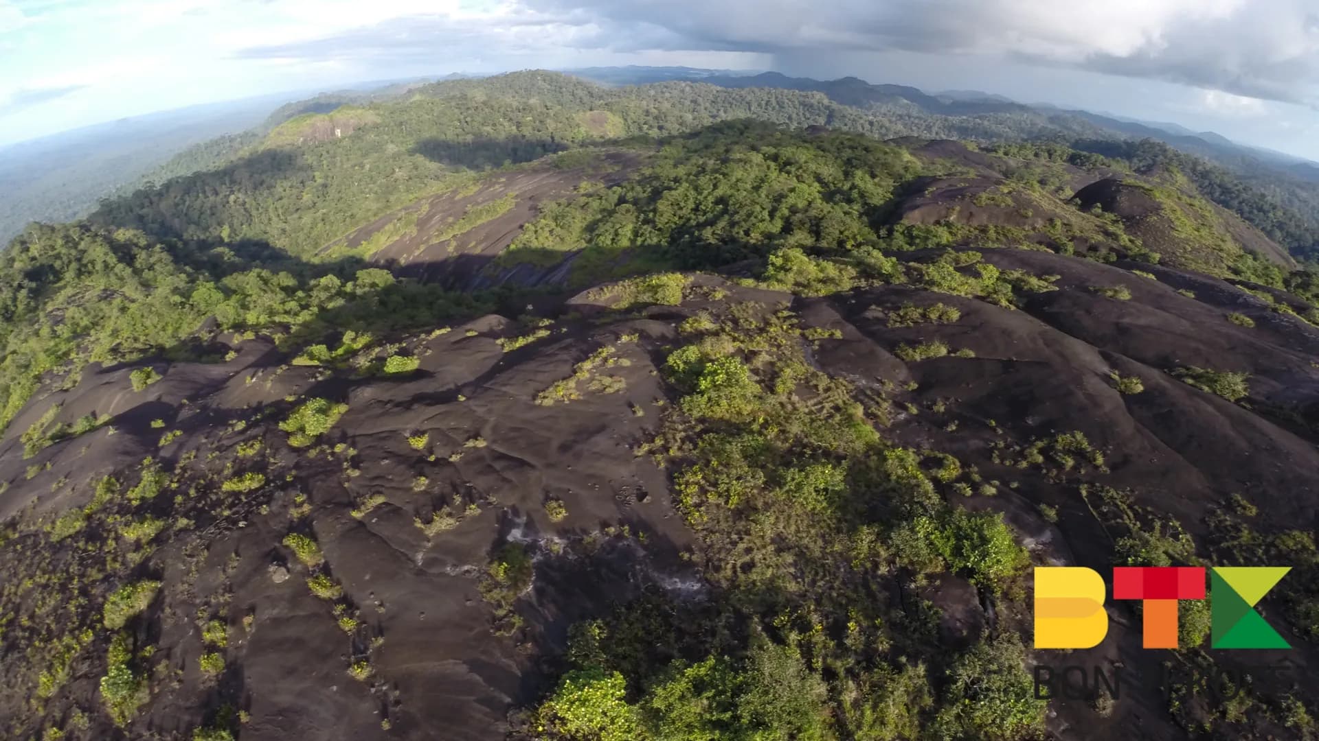
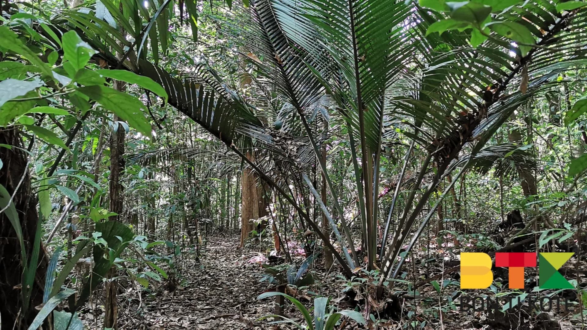
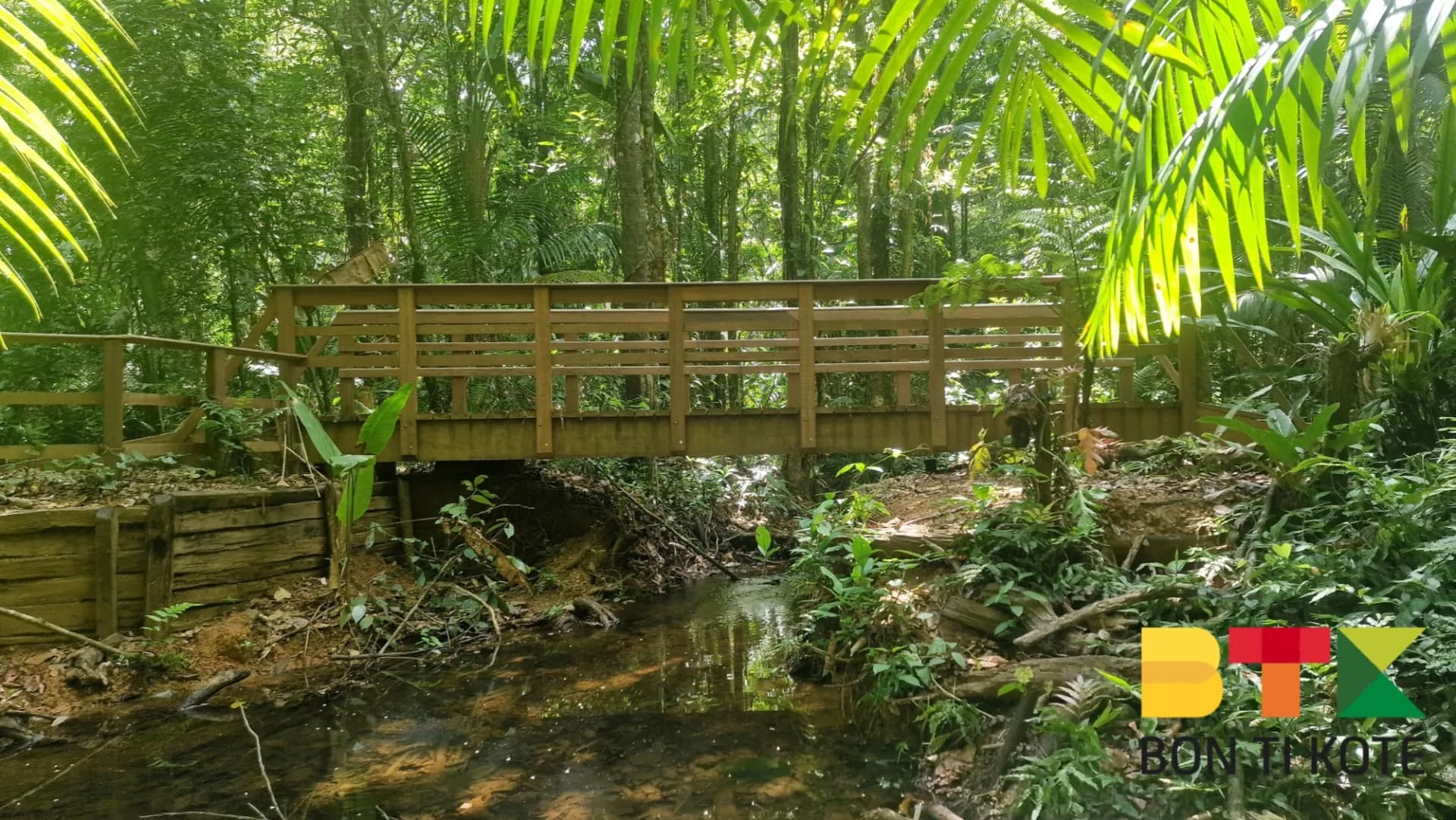
The Sentier des Américains is a 4.5 km walk that immerses visitors in the heart of French Guiana's swamp forest. Inaugurated in September 2023, this trail runs partly through the Mont Grand Matoury National Nature Reserve; it follows the Tompic creek and opens up a world of unspoiled nature.

Designed to welcome a wide range of visitors, the trail follows a relatively flat course, ideal for families and beginner hikers. Allow approximately two hours for the full loop. Informational panels are placed along the route to help identify plant and animal species.

Why Visit

The trail is home to remarkable biodiversity. The flora includes tree ferns, aroumas, and coulans. On the wildlife side, visitors may observe white-bearded hermit hummingbirds, small orange rocket frogs known as atelopus, and — with a little luck — other animals typical of the swamp forest. The trail is open year-round, day and night, allowing visitors to experience the forest in different lights. Monthly guided tours are also organized for those who want to deepen their understanding of the area's biodiversity and history.

History

The Sentier des Américains takes its name from a former track laid in the 1940s by American workers. At the time, this path led to a water reservoir built to supply water to the construction site of Archambeau Airport, now known as Félix Éboué Airport.

Practical Information

Distance: 4.5 km loop. Estimated duration: 2 hours. Level: easy, suitable for families. Rules: dogs allowed on a leash; foraging, hunting, and swimming are prohibited; stay on marked paths. The trail is open year-round, day and night. Please respect the regulations to preserve the ecological integrity of the site.

Getting There

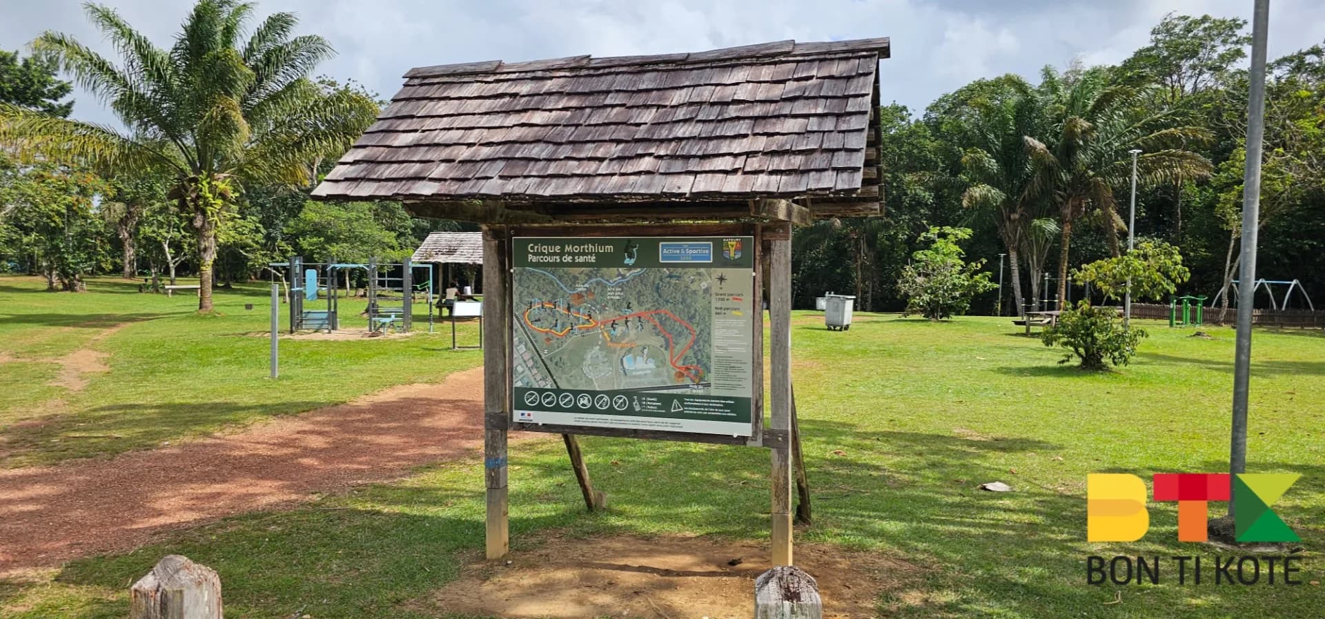
The trailhead is located in the Concorde district of Matoury, a few kilometers from downtown Cayenne; the path begins behind the apartment buildings. It can also be reached from the RN2 highway at the locality known as La Désirée: follow the road, turn left at the intersection, continue, and the trail is at the end.

Getting there

Location

Matoury · Guyane

Frequently asked questions

How long is the trail and how much time does it take?+

The Sentier des Américains forms a 4.5 km loop that takes approximately two hours to complete, along a relatively flat course.

Where does the trail's name come from?+

It takes its name from a track laid in the 1940s by American workers, which led to a water reservoir supplying the construction site of Archambeau Airport, now known as Félix Éboué Airport.

Are dogs allowed?+

Yes, dogs are allowed on a leash. However, foraging, hunting, and swimming are prohibited, and visitors must stay on marked paths.

Where is the trailhead?+

The trailhead is in the Concorde district of Matoury, behind the apartment buildings, or accessible from the RN2 highway at the locality known as La Désirée.

Reviews & comments

No comments yet. Be the first to react.

Hébergements

Où dormir à Matoury

Sélection d'hébergements proposés sur dronmi.fr

Trouvez un hébergement à Matoury

Gîtes, carbets, lodges et locations — sur Dronmi.

Voir sur Dronmi

À proximité

Où manger à Matoury

Urbanjap

Urbanjap

5.0
Rte de l'Est 97351 Matoury
Itinéraire
Chez Tommi

Chez Tommi

5.0
Rue de la Condensation 97351 Matoury
Itinéraire
Chez Cham / Restaurant au Gout du Jour

Chez Cham / Restaurant au Gout du Jour

5.0
Parking DE LA Peniche 600 Route DE Stoupan 97351 Matoury
Itinéraire

Sélection de restaurants proposée par dronmi.fr