Chargement…
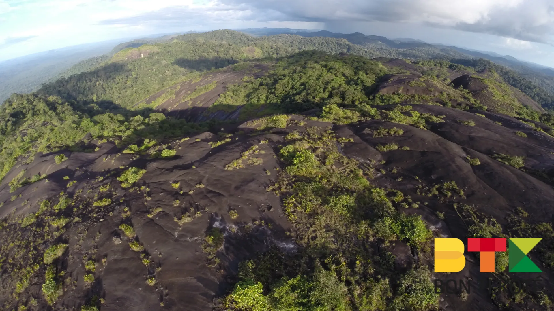
Mont Talwakem, at the heart of the Tumuc-Humac range, offers an adventure into wild, unspoiled nature steeped in historical and mythological tales. In reality, the region consists of rocky domes and inselbergs that rarely exceed 850 metres — far from the majestic peaks imagined on early maps. The summit nonetheless remains an emblem of the Guianas and an invitation to explore the Amazon rainforest.
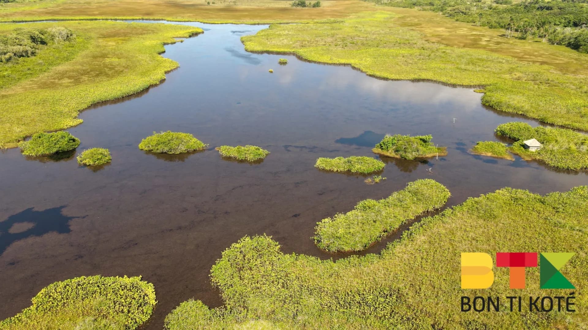
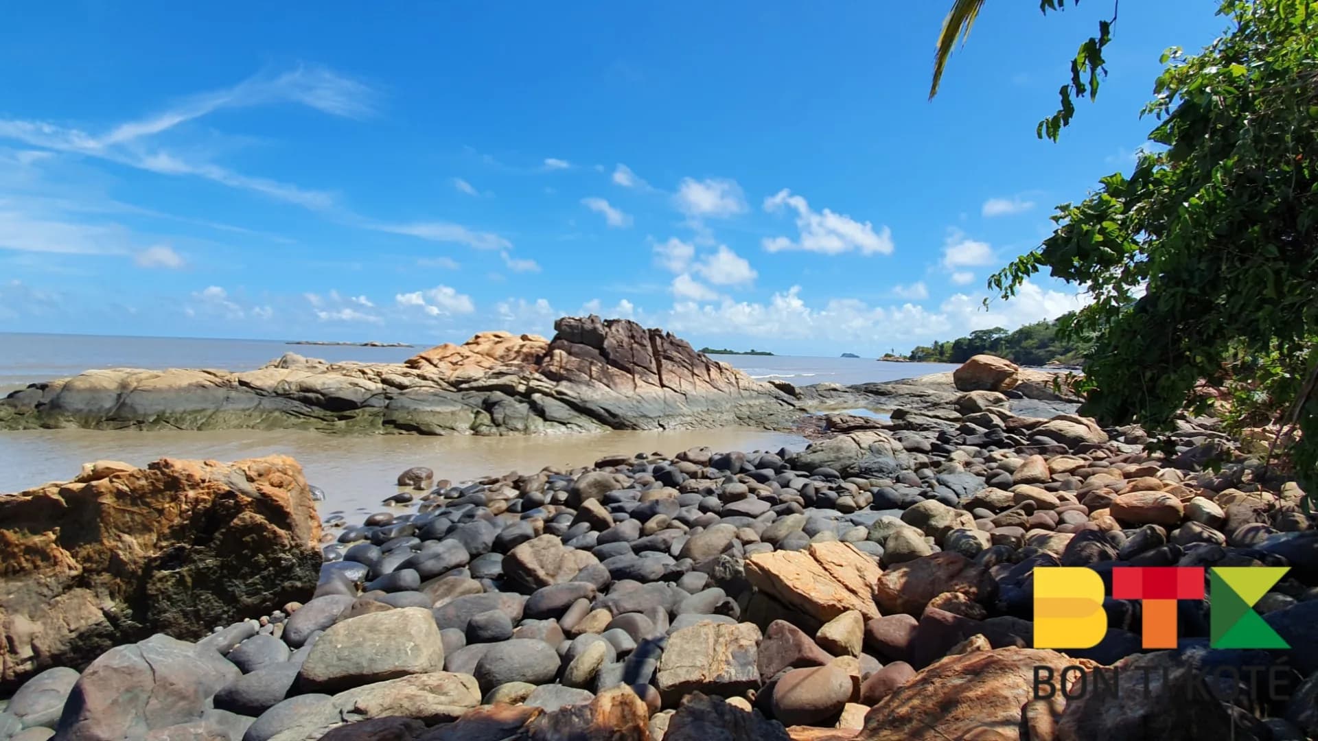
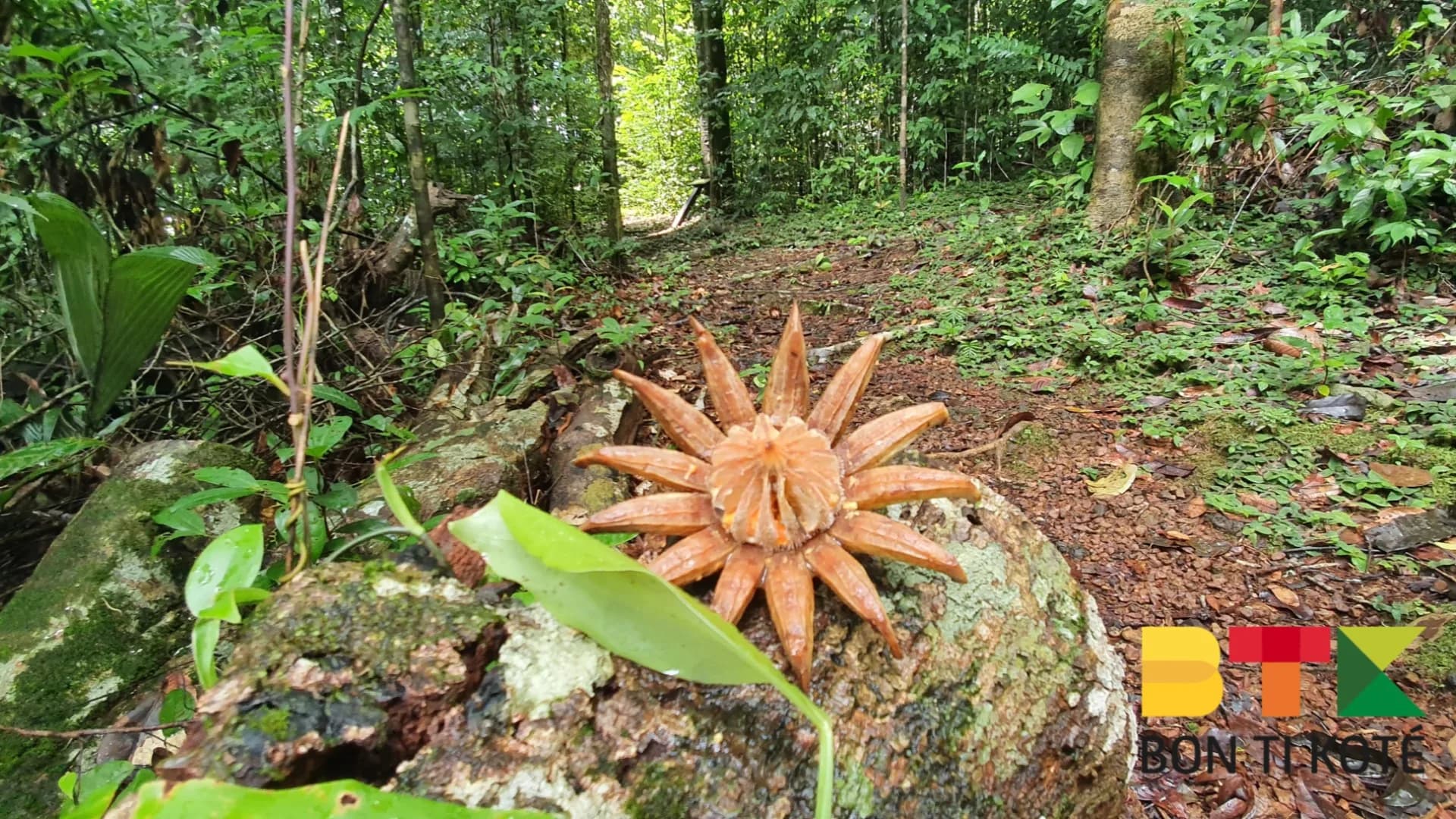
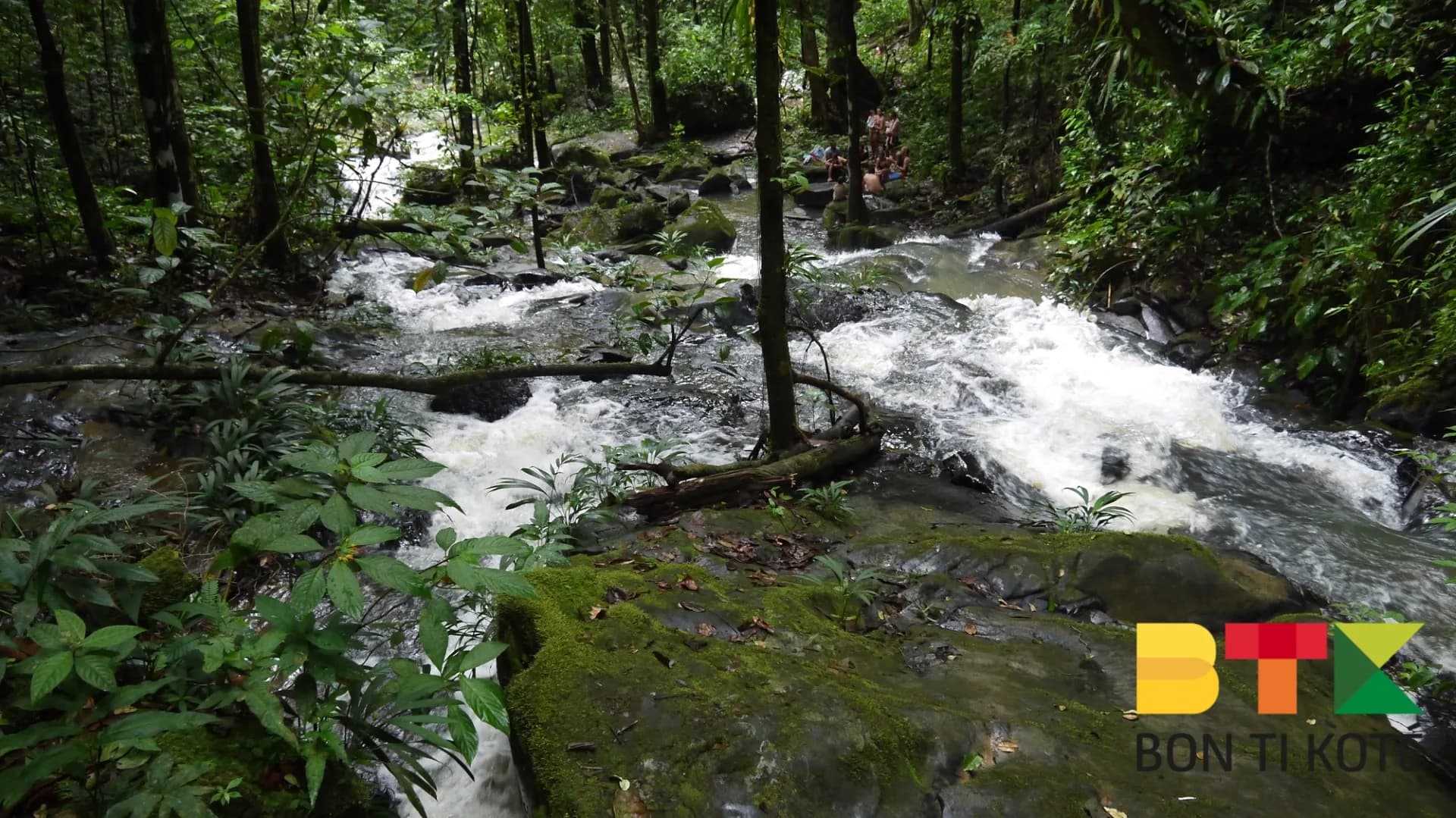
The trek to Mont Talwakem is a total immersion in raw, pristine nature. Over nine days, hikers cross dense forests, winding rivers and spectacular valleys. The final ascent, of around four hours, leads to a summit with a panoramic view over the Amazon rainforest. Along the way, an exceptional biodiversity unfolds: scarlet macaws, howler monkeys, tapirs (maipouri), capybaras and a flora uniquely adapted to the region's crystalline bedrock.
The story of the Tumuc-Humac begins with the first maps drawn by European explorers, on which imaginary mountains were used to delineate river basins. These non-existent ranges were popularised in the 19th century by explorers such as Henri Coudreau, who described grandiose landscapes to captivate their readers. The Tumuc-Humac remain a living legend, fuelled by tales of El Dorado and dramatic explorations, such as that of Raymond Maufrais, who disappeared in 1949. The Wayana people who live in the area share stories in which the mountains play a symbolic role.
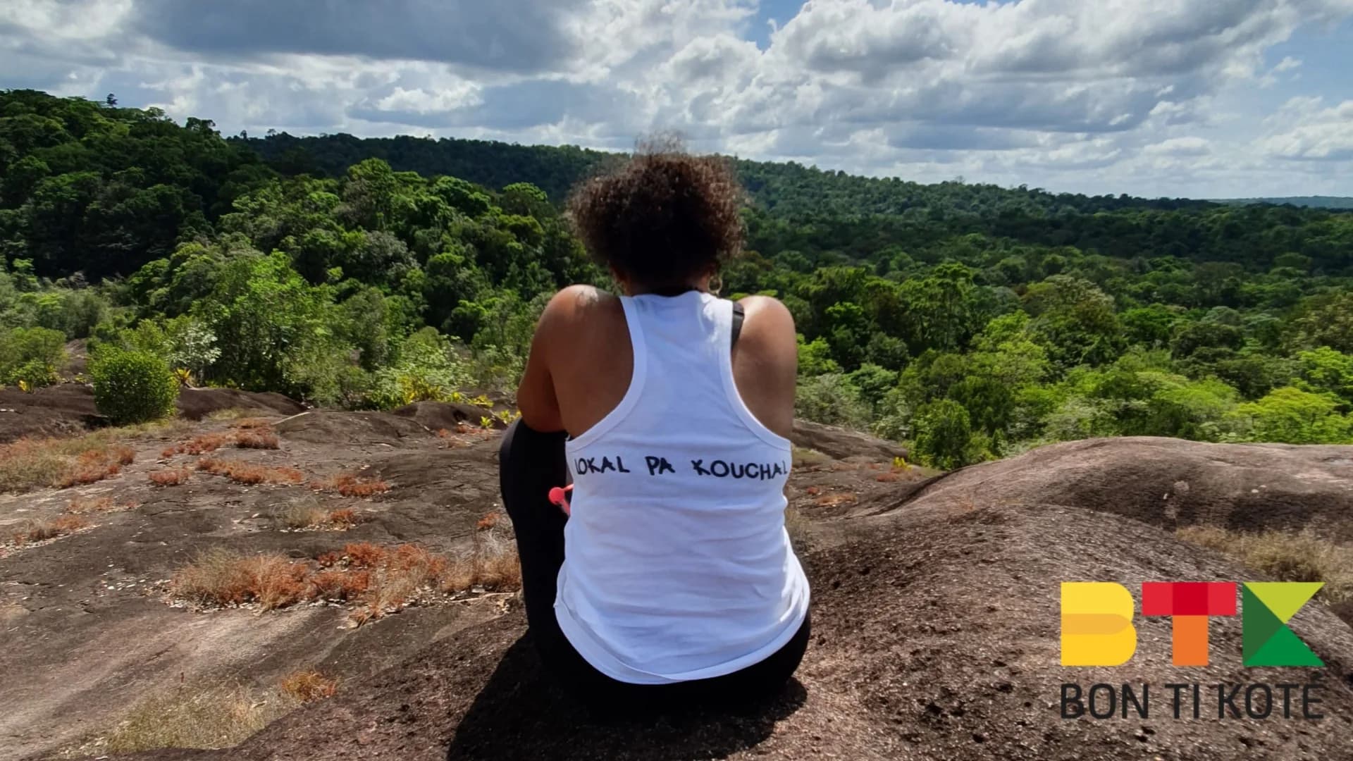
Thorough preparation is essential. Choose lightweight, breathable clothing that dries quickly and protects against the elements, such as a waterproof jacket or durable trousers. Hiring guides is indispensable for both safety and understanding the environment; they often come from local communities, including the Wayana, and bring invaluable expertise in navigating this complex region.
Mont Talwakem is reached from Maripasoula, in southern French Guiana. The approach is made partly by pirogue and then on foot during the multi-day trek, accompanied by local guides.
The trek takes approximately nine days, crossing dense forests, rivers and valleys, with a final ascent of around four hours to the summit.
No. In reality, the region consists of rocky domes and inselbergs that rarely exceed 850 metres. The majestic peaks described on early maps are a myth invented by explorers.
Yes. Guides are essential for safety and for understanding the environment. They often come from local communities, including the Wayana, and bring invaluable expertise.
The trek offers sightings of scarlet macaws, howler monkeys, tapirs (maipouri) and capybaras, along with a flora uniquely adapted to the region's crystalline bedrock.
« Endroit magique, on a vu deux toucans en arrivant ! Sentier bien balisé, parfait pour la matinée. »
« Super site, l'eau est cristalline. Petit bémol : prévoir des chaussures qui tiennent bien, ça glisse. »
« Tip BTK validé : on y est allés à 8h, on était seuls. Vers midi c'est beaucoup plus fréquenté. »
« On a passé l'après-midi ici en famille, les enfants ont adoré la baignade. Vraiment un coup de cœur. »
Trouvez un hébergement à Maripasoula
Gîtes, carbets, lodges et locations — sur Dronmi.
À proximité
Sélection de restaurants proposée par dronmi.fr