Bon Ti Koté
Randonnée au Sentier du Mont Bourda : Une Balade Nature à Cayenne
Nature & sentiers★ Free accessCayenne

Randonnée au Sentier du Mont Bourda : Une Balade Nature à Cayenne

Free access
Distance3,8 kmDifficultéMoyen

Gallery

Overview

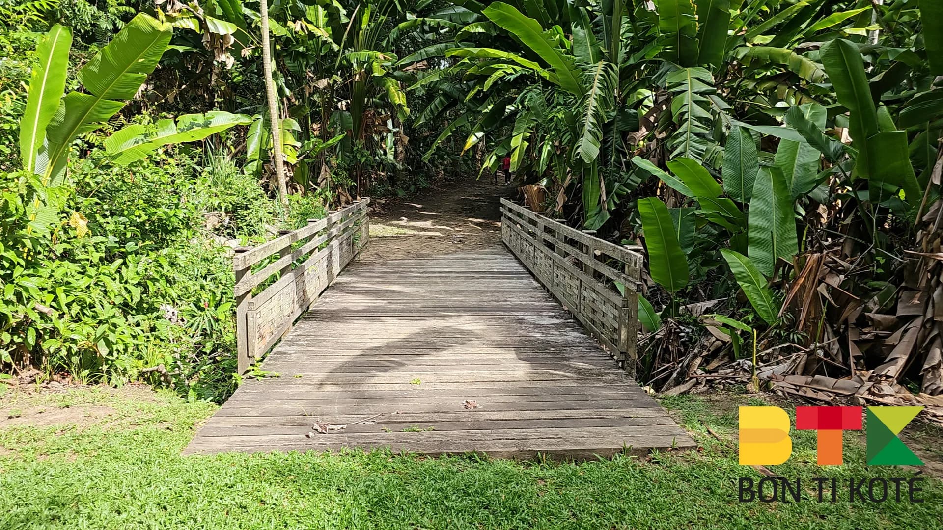
The Mont Bourda trail is an accessible hike located within Cayenne, in French Guiana. Mont Bourda is a 30-hectare forested massif rising to 114 metres above sea level and managed by the Conservatoire du Littoral. Surrounded by housing estates, it preserves a wooded area of trees and vines where birds and monkeys can occasionally be spotted. The trail forms a 3.8 km loop taking approximately 2h30 to complete.

Why Visit

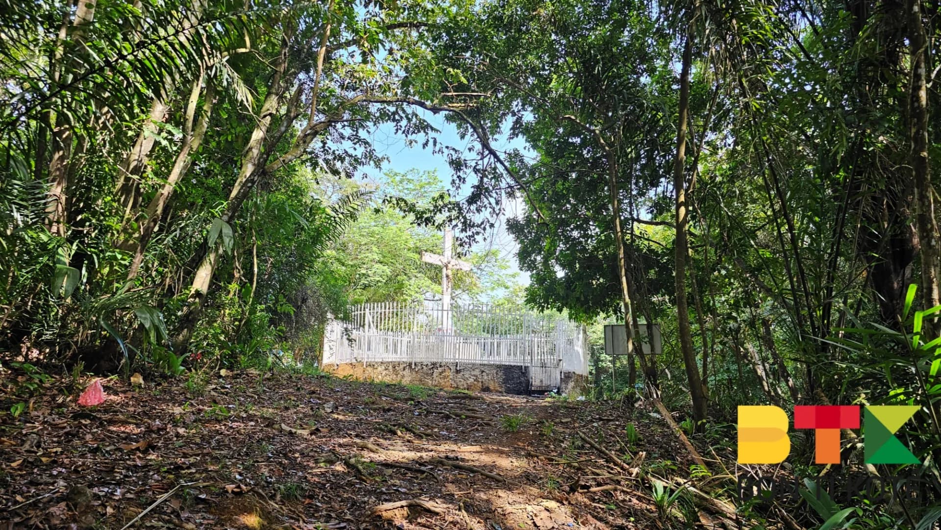
The trail lets you walk through tropical rainforest without leaving the centre of Cayenne. Well maintained, it passes through coastal areas before climbing to the summit, where the Calvary stands. In the past, this vantage point offered an unobstructed view over Salines beach, but vegetation has since grown to block that view. The difficulty level is low to moderate. After the hike, visitors can head to the nearby beaches of Bourda or Zéphir.

History

The Calvary cross, made of concrete, was erected in 1961 by a local Catholic association. It forms part of a Way of the Cross laid out along the trail, comprising several stations depicting the Passion of Christ that can be seen year-round. Designed as a place of reflection for the faithful of Cayenne, the site hosts an annual procession during Holy Week, the week before Easter: participants climb to the summit following the stations, usually guided by a priest.

Practical Information

Length: 3.8 km loop. Duration: approximately 2h30, longer if you stop for a swim or attend an event. Difficulty: low to moderate. Parking is available near the trailhead sign, on the route de Bourda. What to bring: suitable footwear, water, a hat, and insect repellent, even in the shade of the forest. Best time to go: in the morning for cooler temperatures; for the procession, aim for Holy Week.

Getting There

From Cayenne, take the route de Montabo, then turn left onto the route de Bourda on the eastern side. Parking is available near the trailhead sign.

Getting there

Location

Cayenne · Guyane

Frequently asked questions

How long is the Mont Bourda trail and how long does it take?+

The trail forms a 3.8 km loop taking approximately 2h30 to complete, longer if you stop for a swim at the nearby beaches or attend an event.

Can you see the ocean from the summit?+

The Calvary at the summit once offered an unobstructed view over Salines beach, but vegetation has since grown to block that perspective.

What is the Calvary of Mont Bourda?+

It is a concrete cross erected in 1961 by a local Catholic association at the highest point of the trail. It is part of a Way of the Cross whose stations trace the Passion of Christ.

When does the procession take place?+

Every year during Holy Week, the week before Easter, the local Catholic community organises a procession that climbs to the summit following the stations of the Way of the Cross.

Reviews & comments

No comments yet. Be the first to react.

Hébergements

Où dormir à Cayenne

Sélection d'hébergements proposés sur dronmi.fr

Trouvez un hébergement à Cayenne

Gîtes, carbets, lodges et locations — sur Dronmi.

Voir sur Dronmi

À proximité

Où manger à Cayenne

Chez Josie

Chez Josie

5.0
Rue Renée Jadfard 97300 Cayenne
Itinéraire
Restaurant Epidendrum

Restaurant Epidendrum

4.9
634 Rte de Bourda 97300 Cayenne
Itinéraire
Adelita

Adelita

4.8
Rte de Baduel 97300 Cayenne
Itinéraire

Sélection de restaurants proposée par dronmi.fr